An automated approach would be better.
For example, take the pad's altitude and size, and use it to flatten the terrain it is upon, and bring it to that altitude.
Basically, it's the opposite of what happens now.
This would allow us to define silos or elevated pads, and is compatible with both the new terrains and old bases (giving a pad new altitude it's quite trivial).
Here's an ugly example for FlightSim, but very illustrative of my suggestion ;-) :
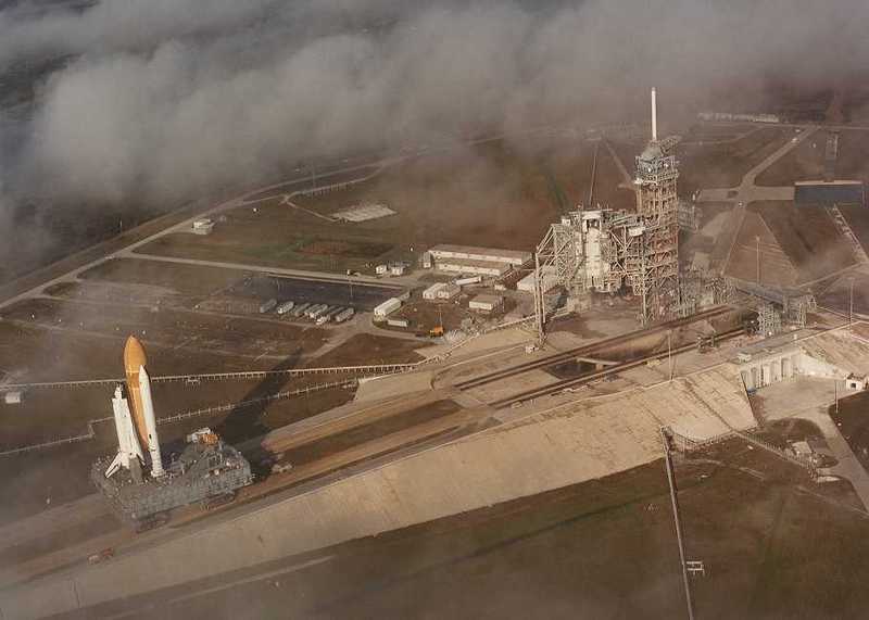
Compare with a real launchpad and notice that it's not that different ;-):
(the spacecraft does go up a "ramp")
Runways could work the same way.