- Joined
- Oct 30, 2009
- Messages
- 14,019
- Reaction score
- 4
- Points
- 0
DLR: TanDEM-X: 2011 bereit für den operationellen Betrieb [part translated below]:Sorry, there is no corresponding English translation on the portal yet.
TanDEM-X: Ready for operational running in 2011
December 15, 2010
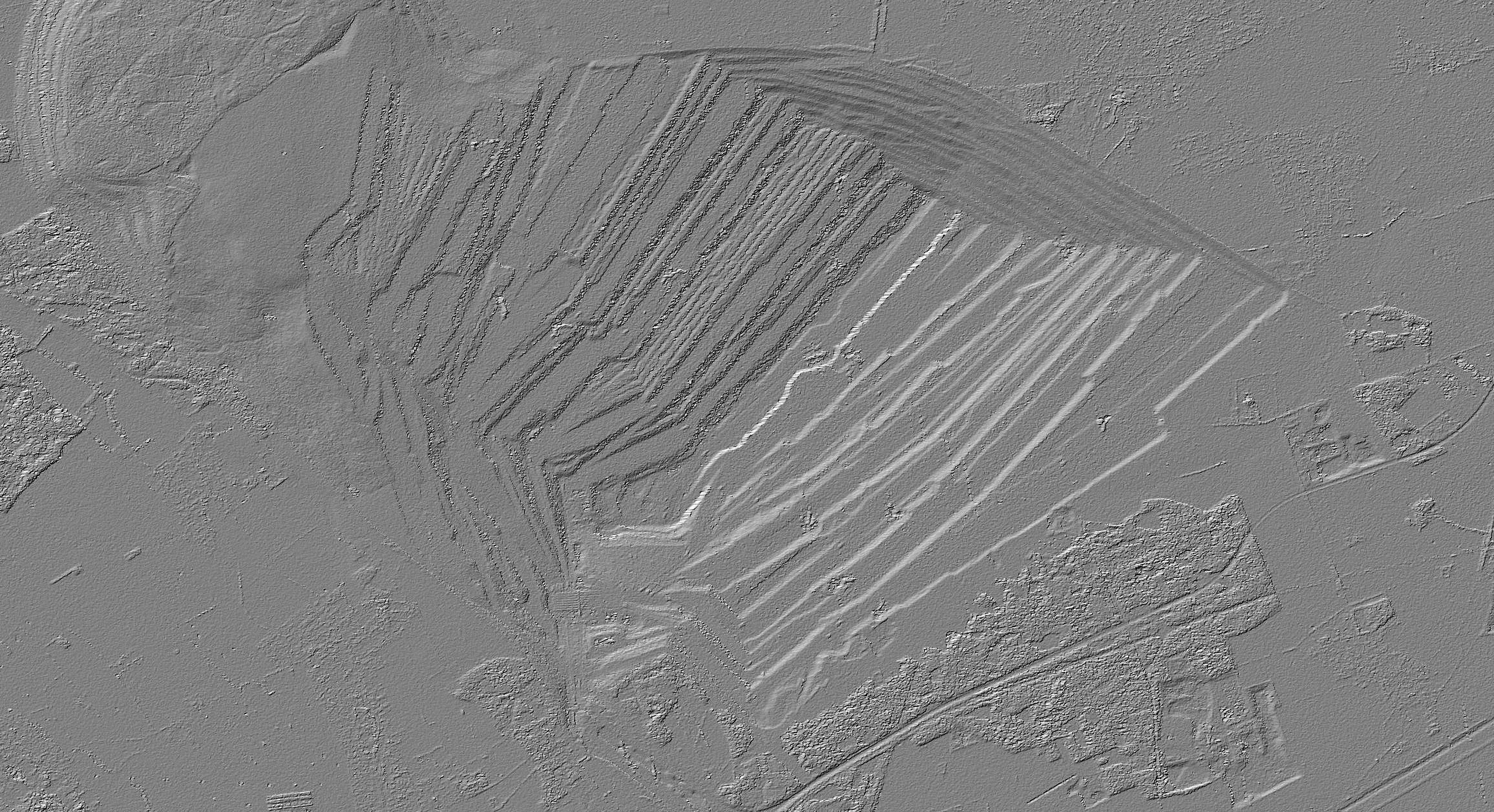
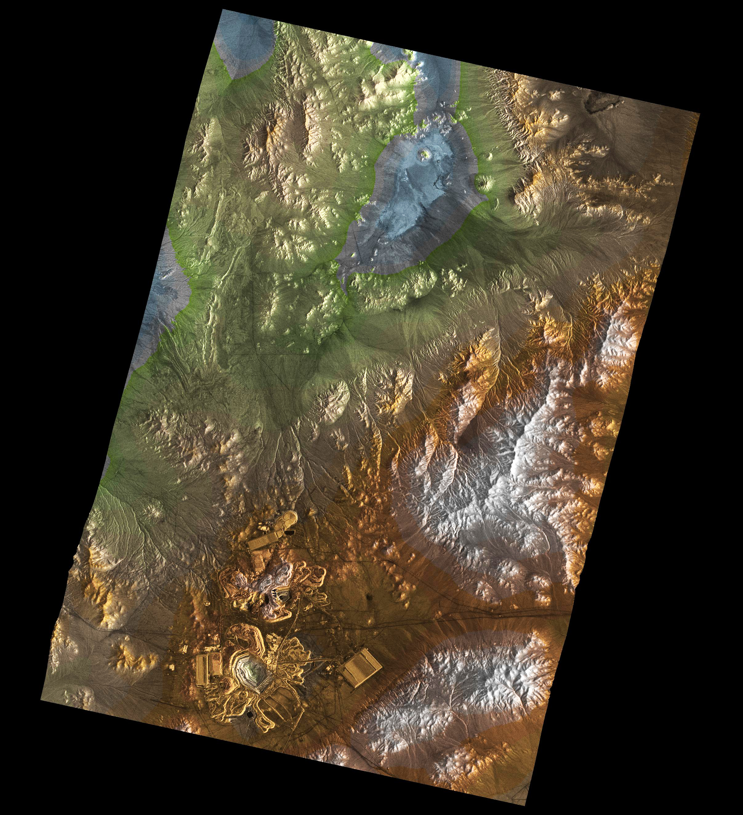
On December 14, 2010 TanDEM-X mission has reached another important milestone: the test phase was completed on schedule in less than six months and has proven that the operational mode, i.e. the collection of elevation data, can begin from 2011.
[table="head"]{colsp=2}
 |
|
Click on images to view larger versions
 |
|
Volcanic region of the Atacama desert
|Copper mine in Chile
[/table]