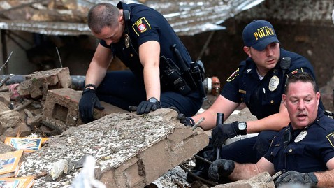
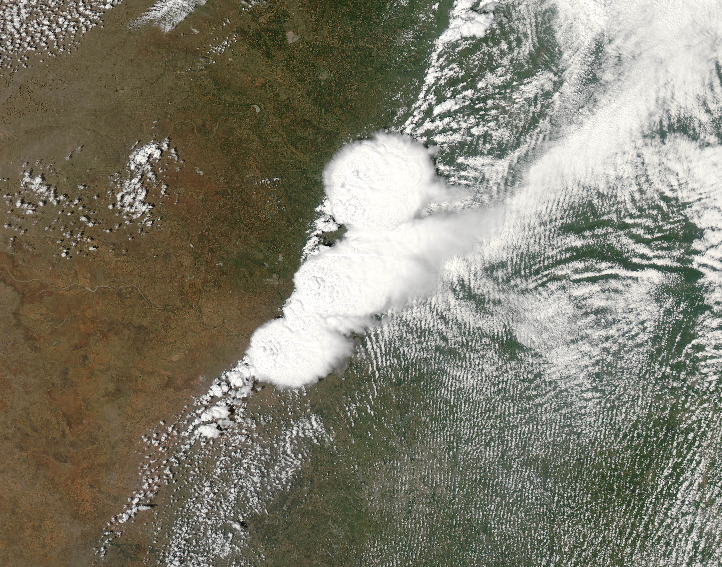
Also, you have to include that this weather was everything but normal. Even people who did everything right had been in very dangerous situations.
That is one is counted as EF-4+ is a bit strange, since there are quite many examples of EF-5 damage around (more than EF-4 examples), like only the foundations of buildings being left and even stronger buildings having their sidewalls removed completely. And the size of the damage area is also unbelieveable, you would rather expect a hurricane to cause this.
It won't be given a final rating until after the damage surveys are complete. It's wise not to jump the gun and declare something to be worse than it is before all the facts are known. Though I agree, it will probably reach EF-5 once the surveys are done. As to the extent of damage, it was reported that the funnel reached 2 miles wide (3.2km) at one point.
What disturbs is the short time between warning and impact. This one travelled pretty slowly (40 minutes on the ground, 32 km distance = about 50 km/h on the average) and was so huge that the rotation must have been visible as extraordinary on radar earlier, so that a warning even if no tornado sighting is confirmed might have been better. I have not seen such huge hooks often on radar images, I am not even sure if at all in that size. Also it must have been on the ground already for about 10 minutes before reaching the denser populated areas of Moore.
I discovered this morning that Moore had 36 minutes of lead time before the storm hit. But where do you go? Schools don't exactly have storm shelters big enough for the entire student body and with an EF-5, everything above-ground just disappears, even the grass in many cases.
Damn american wooden houses....nowhere to hide.
The school was likely a cinderblock building, but it was still utterly destroyed too.
Some questions about that:
1. What's that yellow shape of some sort indicate?
That's a severe thunderstorm warning for the areas, it is not automatically generated, it is created by a person usually at a National Weather Service field office for their area. Other apps have similar displays, but maybe different colors. For instance GRLevel3, displays severe thunderstorm warnings in red, and tornado warnings in purple rather than yellow and red respectively.
2. What's reflectivity that i always see on radar maps?
Reflectivity in this context is a measure of the intensity of the precipitation. In relation to tornadoes, it's good for seeing hook-echoes, but that's about it. To see tornadoes, you need a velocity display, the "doppler" in doppler radar.
http://i226.photobucket.com/albums/dd230/Zatnikitelman/1202032023atlanta_zpsff4a3d68.png
In the image above, top left is reflectivity, and you can sort of see a hook echo, but not very well defined. However, if you look right to the base velocity, or down to the storm-relative velocity (basically removes overall storm motion from the mix) you can see the tight green (inbound) and red (outbound) velocities which indicate rotation. The actual center looks a little to the right of the triangular "TVS" indicator, and a little above the lower red circle.
If anyone's interested, here's an animated loop of the reflectivity display of the Moore storm.
https://i.minus.com/iluhrlDRbUSAQ.gif
Also, death toll from Moore looks to have dropped officially to 24 at this point. Apparently some people were counted twice.